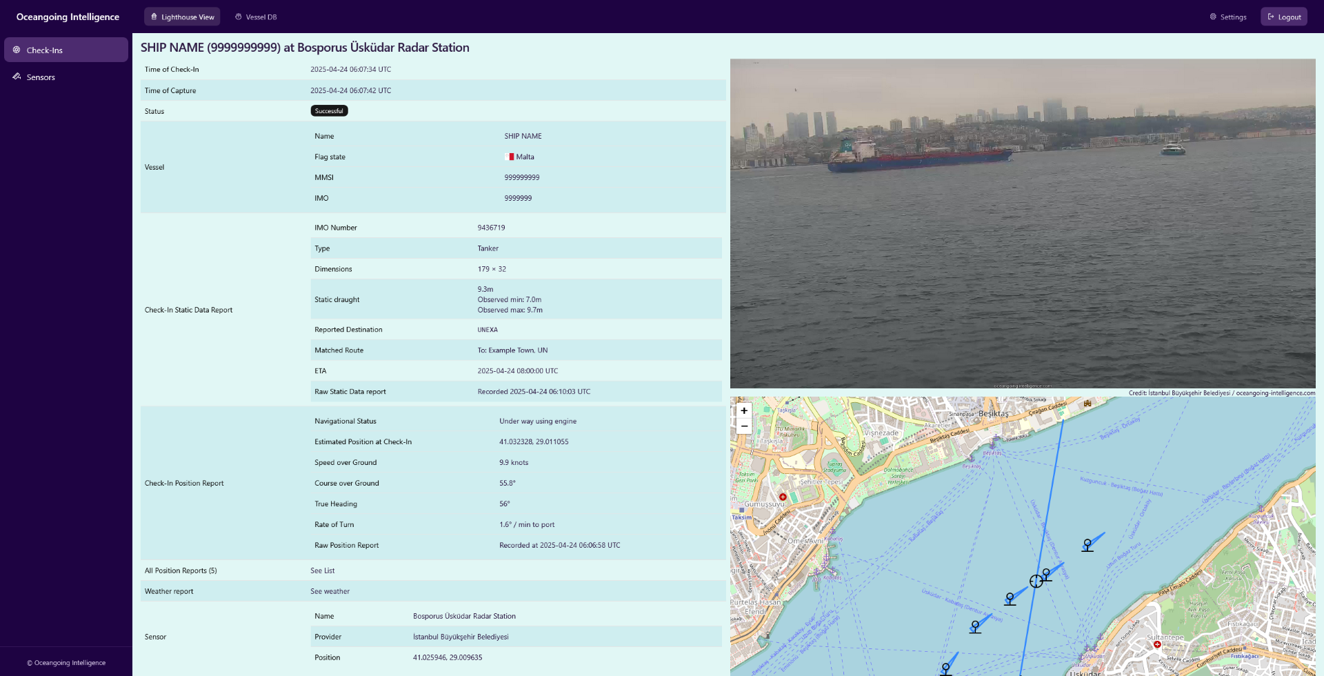
Validate your AIS Data with Reality at Sea Level
Lighthouse View cross-references AIS data with automated shore-side camera captures worldwide — giving you visual proof of vessel movements, not just transmitted signals.
Globe-Spanning Network
With sensors on four continents spanning major chokepoints, ports, and waterways we check-in hundreds of vessels every day.
Multiple AIS Sources
We are correlating data from satellite, terrestrial, and shipborne AIS sources from multiple providers for optimal coverage.
Searchable Database
Query vessels by IMO, MMSI, or name. Retrieve historical captures with AIS reports, timestamps, coordinates, and visual proof.
Real-Time Alerts
Get automatically notified when selected vessels are captured on camera. Or subscribe to automatically updated sanction lists.
Seamless Integration
Use Lighthouse View data in your own systems via our developer-friendly REST APIs.
Bring Your Own Sensor
Securely integrate your existing camera feeds into our network to profit from the same enrichment processes.

Sanctions Enforcement
Collect evidence on vessels evading sanctions through AIS spoofing, flag swaps, or dark voyages.

Insurance Verification
Confirm historical vessel locations and movements for comprehensive maritime risk assessment.

Trade Intelligence
Track real-time commodity flows through critical maritime chokepoints with visual confirmation.
The curious case of Tanker X
A Lighthouse View case study from early 2025. The static and voyage related AIS reports containing the static draught information were recorded within 5 minutes of the captures.
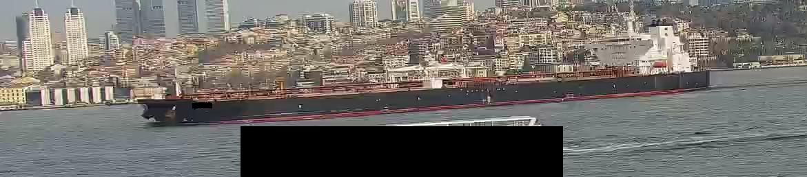
Act 1: A fully laden Tanker X
Static draught according to AIS: 13.6m
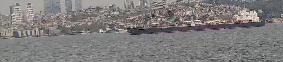
Act 2: Tanker X returning in ballast
Static draught according to AIS: 9.0m
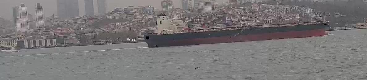
Act 3: Tanker X ... in ballast?